
Älvkarleby kommun topographic map
Interactive map
Click on the map to display elevation.
About this map
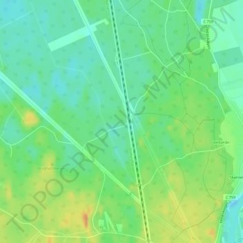
Name: Älvkarleby kommun topographic map, elevation, terrain.
Location: Älvkarleby kommun, Uppsala County, Sweden (60.42333 17.25667 60.74333 17.57667)
Average elevation: 22 m
Minimum elevation: -4 m
Maximum elevation: 92 m
Other topographic maps
Click on a map to view its topography, its elevation and its terrain.
Uppsala
Uppsala, Uppsala kommun, Uppsala County, 753 20, Sweden
Average elevation: 29 m
Älvkarleby kommun
Älvkarleby kommun, Uppsala County, Sweden
Average elevation: 20 m