Geolocate

Amasia topographic map

Click on the map to display elevation.

About this map

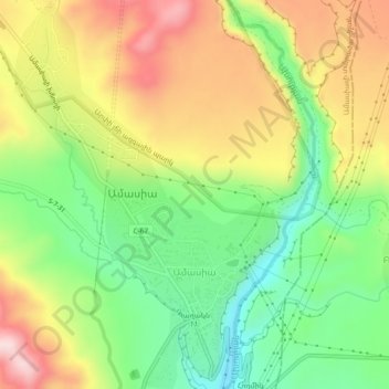
Name: Amasia topographic map, elevation, terrain.

Location: Amasia, Amasia region, Shirak Province, Armenia (40.94695 43.76479 40.98094 43.79498)

Average elevation: 1,946 m

Minimum elevation: 1,793 m

Maximum elevation: 2,132 m

Gear up for your next adventure:

🧦Crew Hiking Socks - Comfortable socks for long-distance hikes
🛏️Camping Sleeping Mat - Comfortable mats for sleeping outdoors
🥘Camping Cookware Set - Compact nesting pots and pans for trail cooking
🧊Insulated Water Bottle - Keeps drinks cold in summer and prevents freezing in winter
🚑Survival Whistle - Signal for help across long distances in mountains

As an Amazon Associate, this site earns from qualifying purchases at no extra cost to you.