

Kuelap topographic map
Click on the map to display elevation.
Kuelap
Kuélap is located on a limestone ridge on top of a mountain at an elevation of 3000 metres, on the left bank of the Utcubamba River. It belongs to the district of Tingo, Luya Province, Amazonas. The area is covered with cloud forests, with a variety of trees, orchids and epiphytes. The protected zone covers an area of 218.33 ha (2.18 km2) and a buffer zone of 609.67 ha (6.10 km2), both protecting about 12 archaeological sites and the main site of Kuélap.
About this map
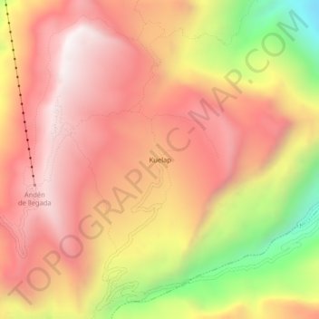
Name: Kuelap topographic map, elevation, terrain.
Location: Kuelap, Tingo, Province of Luya, Amazonas, 01415, Peru (-6.44310 -77.93072 -6.40310 -77.89072)
Average elevation: 2,600 m
Minimum elevation: 1,823 m
Maximum elevation: 3,065 m