Geolocate

Rosemère topographic map

Click on the map to display elevation.

About this map
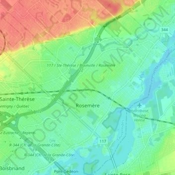
Name: Rosemère topographic map, elevation, terrain.

Location: Rosemère, Thérèse-De Blainville, Laurentides, Quebec, Canada (45.61092 -73.82855 45.66467 -73.76793)

Average elevation: 37 m

Minimum elevation: 17 m

Maximum elevation: 75 m

Thérèse-De Blainville trails, hiking, mountain biking, running and outdoor activities

Gear up for your next adventure:

🧭Orienteering Kit - Tools for map reading and navigation in the wild
🧶550 Survival Paracord - Versatile utility cord for emergency repairs and rigging
🔦UV Flashlight - Detect minerals or specific insects in the dark
🎒Hiking Backpack - Lightweight and ergonomic backpacks for day hikes or multi-day treks
👖Convertible Hiking Pants - Zip-off legs to adapt to changing weather conditions

As an Amazon Associate, this site earns from qualifying purchases at no extra cost to you.