Geolocate

Poblete topographic map

Click on the map to display elevation.

About this map
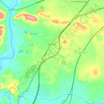
Name: Poblete topographic map, elevation, terrain.

Location: Poblete, Ciudad Real, Castile-La Mancha, 13195, Spain (38.89936 -4.05269 38.95922 -3.95287)

Average elevation: 623 m

Minimum elevation: 569 m

Maximum elevation: 731 m

Other topographic maps

Click on a map to view its topography, its elevation and its terrain.

Gear up for your next adventure:

🧦Hiking Liner Socks - Thin base layer to prevent friction and blisters
🔦LED Headtorch - Bright and durable light for night activities
💡LED Headlamp - Hands-free illumination for night hiking and camping
🧰Survival Kit - Essential gear for emergencies in the wilderness
🥽Outdoor Goggles - Protective eyewear for outdoor activities

As an Amazon Associate, this site earns from qualifying purchases at no extra cost to you.