
Make a donation
Gear up for your next adventure:
As an Amazon Associate, this site earns from qualifying purchases at no extra cost to you.
Winkler topographic map
Click on the map to display elevation.
Make a donation
Gear up for your next adventure:
As an Amazon Associate, this site earns from qualifying purchases at no extra cost to you.
About this map
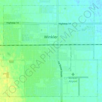
Name: Winkler topographic map, elevation, terrain.
Location: Winkler, Division No. 3, Manitoba, Canada (49.16277 -97.97220 49.19997 -97.90878)
Average elevation: 272 m
Minimum elevation: 266 m
Maximum elevation: 284 m
Division No. 3 trails, hiking, mountain biking, running and outdoor activities
Make a donation
Gear up for your next adventure:
As an Amazon Associate, this site earns from qualifying purchases at no extra cost to you.
Other topographic maps
Click on a map to view its topography, its elevation and its terrain.
Hochfeld
Canada > Manitoba > Division No. 3 > Rural Municipality of Stanley > Hochfeld
Average elevation: 284 m