
Elephant Pound Rajaji National park Uttrakhand topographic map
Interactive map
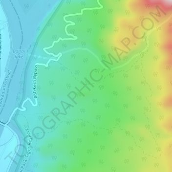
Click on the map to display elevation.
About this map
Name: Elephant Pound Rajaji National park Uttrakhand topographic map, elevation, terrain.
Average elevation: 455 m
Minimum elevation: 328 m
Maximum elevation: 774 m