
Thank you for supporting this site ❤️
Make a donation
Make a donation
Gear up for your next adventure:
As an Amazon Associate, this site earns from qualifying purchases at no extra cost to you.
Chacala topographic map
Click on the map to display elevation.
Thank you for supporting this site ❤️
Make a donation
Make a donation
Gear up for your next adventure:
As an Amazon Associate, this site earns from qualifying purchases at no extra cost to you.
About this map
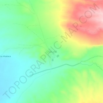
Name: Chacala topographic map, elevation, terrain.
Location: Chacala, Uyuni, Antonio Quijarro, Potosí, Bolivia (-20.19269 -66.88354 -20.15269 -66.84354)
Average elevation: 3,845 m
Minimum elevation: 3,771 m
Maximum elevation: 3,970 m
Thank you for supporting this site ❤️
Make a donation
Make a donation
Gear up for your next adventure:
As an Amazon Associate, this site earns from qualifying purchases at no extra cost to you.