Geolocate

Lamar Valley topographic map

Click on the map to display elevation.

About this map

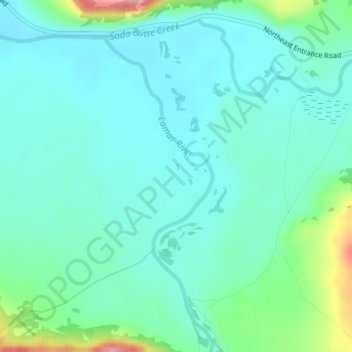
Name: Lamar Valley topographic map, elevation, terrain.

Location: Lamar Valley, Park County, Wyoming, United States (44.84902 -110.19797 44.86902 -110.17797)

Average elevation: 2,029 m

Minimum elevation: 2,001 m

Maximum elevation: 2,136 m

Gear up for your next adventure:

🧭GPS Handheld Device - Reliable GPS navigation for outdoor adventures
🧰Emergency Multi-Tool - Compact multi-tool for outdoor survival
🛶Waterproof Dry Bags - Keep electronics and clothes dry during river crossings
🥾Hiking Leggings - Comfortable leggings for outdoor activities
🥽Outdoor Goggles - Protective eyewear for outdoor activities

As an Amazon Associate, this site earns from qualifying purchases at no extra cost to you.