Geolocate

Brechin topographic map

Click on the map to display elevation.

About this map

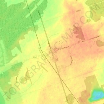
Name: Brechin topographic map, elevation, terrain.

Location: Brechin, Ramara Township, Simcoe County, Central Ontario, Ontario, L0K 1B0, Canada (44.52680 -79.19624 44.56680 -79.15624)

Average elevation: 229 m

Minimum elevation: 198 m

Maximum elevation: 242 m

Simcoe County trails, hiking, mountain biking, running and outdoor activities

Other topographic maps

Click on a map to view its topography, its elevation and its terrain.

Lake St. John

Canada > Ontario > Simcoe County > Ramara Township

Average elevation: 220 m

Gear up for your next adventure:

🔦LED Headlamp - Hands-free lighting for early morning starts or late finishes
Lightweight Backpacking Tent - Compact tent for efficient hiking trips
👖Convertible Hiking Pants - Zip-off legs to adapt to changing weather conditions
🧤Rechargeable Heated Gloves - Extreme warmth for Canadian winter expeditions
🧰Multitool Knife - Compact and versatile tool for outdoor use

As an Amazon Associate, this site earns from qualifying purchases at no extra cost to you.