Geolocate

West Melbourne topographic map

Click on the map to display elevation.

About this map

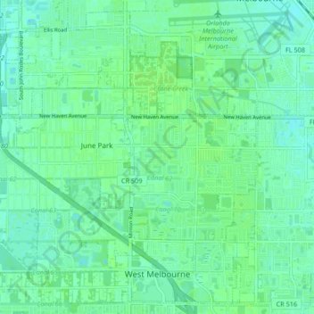
Name: West Melbourne topographic map, elevation, terrain.

Location: West Melbourne, Brevard County, Florida, 32904, United States (28.03525 -80.72058 28.10336 -80.63785)

Average elevation: 10 m

Minimum elevation: -1 m

Maximum elevation: 14 m

Other topographic maps

Click on a map to view its topography, its elevation and its terrain.

Gear up for your next adventure:

🕶️Polarized Sunglasses - Reduces glare from snow and water at high elevations
🎒Backpack Rain Cover - External shield to keep your entire pack dry
📷Outdoor Action Camera - Capture high-elevation views and rugged adventures
🐕Hiking Dog Pack - Let your canine companion carry their own water and food
🔭Outdoor Binoculars - Lightweight binoculars for birdwatching and hiking

As an Amazon Associate, this site earns from qualifying purchases at no extra cost to you.