
Gangotri Glacier topographic map
Interactive map
Click on the map to display elevation.
About this map
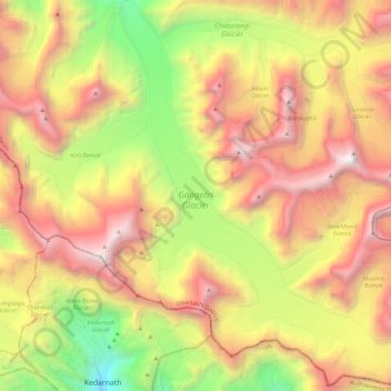
Name: Gangotri Glacier topographic map, elevation, terrain.
Average elevation: 5,259 m
Minimum elevation: 3,530 m
Maximum elevation: 7,020 m
Other topographic maps
Click on a map to view its topography, its elevation and its terrain.
Uttarkashi
India > Uttarakhand > Bhatwari
Uttarkashi, Bhatwari, Uttarkashi district, Uttarakhand, 249193, India
Average elevation: 1,619 m