
Thank you for supporting this site ❤️
Make a donation
Make a donation
Gear up for your next adventure:
As an Amazon Associate, this site earns from qualifying purchases at no extra cost to you.
Geluveld topographic map
Click on the map to display elevation.
Thank you for supporting this site ❤️
Make a donation
Make a donation
Gear up for your next adventure:
As an Amazon Associate, this site earns from qualifying purchases at no extra cost to you.
About this map
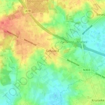
Name: Geluveld topographic map, elevation, terrain.
Location: Geluveld, Zonnebeke, Ieper, West Flanders, Belgium (50.81871 2.95926 50.84903 3.02184)
Average elevation: 40 m
Minimum elevation: 20 m
Maximum elevation: 65 m
Thank you for supporting this site ❤️
Make a donation
Make a donation
Gear up for your next adventure:
As an Amazon Associate, this site earns from qualifying purchases at no extra cost to you.