Geolocate

Vught topographic map

Click on the map to display elevation.

About this map

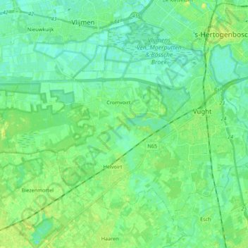
Name: Vught topographic map, elevation, terrain.

Location: Vught, North Brabant, Netherlands (51.61254 5.15445 51.69003 5.32119)

Average elevation: 6 m

Minimum elevation: -1 m

Maximum elevation: 15 m

Gear up for your next adventure:

🧴Bear Spray Holster - Quick-access carry for essential Canadian wilderness safety
🚲MTB Frame Bag - Carry tools and maps directly on your bicycle frame
🛶Kayak Dry Bag - Waterproof storage for kayaking adventures
🥾Trail Running Shoes - Lightweight and durable shoes for trail running
💡Compact LED Flashlight - Powerful and portable flashlight for outdoor use

As an Amazon Associate, this site earns from qualifying purchases at no extra cost to you.