Geolocate

Comuna 13 topographic map

Click on the map to display elevation.

About this map

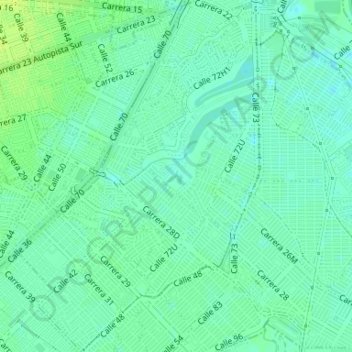
Name: Comuna 13 topographic map, elevation, terrain.

Location: Comuna 13, Cali, Sur, Valle del Cauca, RAP Pacífico, Colombia (3.41146 -76.50653 3.44434 -76.48380)

Average elevation: 950 m

Minimum elevation: 944 m

Maximum elevation: 959 m

Gear up for your next adventure:

🌡️Emergency Mylar Blankets - Compact thermal protection for unexpected nights outdoors
🥾Durable Hiking Shoes - Long-lasting shoes for frequent hiking
🥾Trail Hiking Socks - Comfortable socks to prevent blisters and fatigue
💡Portable Camping Lamp - Rechargeable lamp for campsite lighting
📷Outdoor Action Camera - Capture high-elevation views and rugged adventures

As an Amazon Associate, this site earns from qualifying purchases at no extra cost to you.