
Trois-Ponts topographic map
Interactive map
Click on the map to display elevation.
About this map
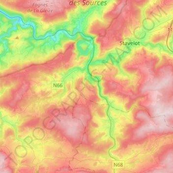
Name: Trois-Ponts topographic map, elevation, terrain.
Location: Trois-Ponts, Verviers, Liège, Wallonia, 4980, Belgium (50.31975 5.76023 50.39107 6.00204)
Average elevation: 411 m
Minimum elevation: 181 m
Maximum elevation: 605 m