Geolocate

Roseboro topographic map

Click on the map to display elevation.

About this map
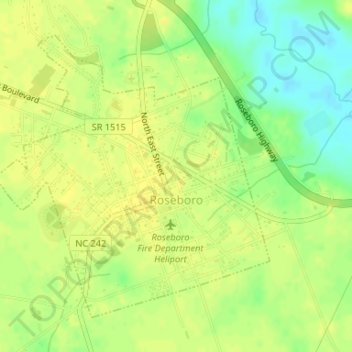
Name: Roseboro topographic map, elevation, terrain.

Location: Roseboro, Sampson County, North Carolina, United States (34.94390 -78.52564 34.96557 -78.49987)

Average elevation: 38 m

Minimum elevation: 24 m

Maximum elevation: 44 m

Other topographic maps

Click on a map to view its topography, its elevation and its terrain.

Elliott

United States > North Carolina > Sampson County

Average elevation: 35 m

Ivanhoe

United States > North Carolina > Sampson County

Average elevation: 15 m

Gear up for your next adventure:

🪜Heavy Duty Carabiners - Multi-use clips for securing gear to your backpack
🕯️Camping Lantern - Illuminates your entire campsite with high-efficiency LEDs
🔦LED Headtorch - Bright and durable light for night activities
🔭Compact Monocular - One-handed bird watching and trail spotting
💧Filtered Water Bottle - Safe drinking water on the go

As an Amazon Associate, this site earns from qualifying purchases at no extra cost to you.