Geolocate

Alapuzha topographic map

Click on the map to display elevation.

About this map

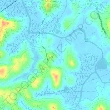
Name: Alapuzha topographic map, elevation, terrain.

Location: Alapuzha, Devalokam, Kottayam, Kerala, India (9.55831 76.53808 9.57082 76.55035)

Average elevation: 10 m

Minimum elevation: -5 m

Maximum elevation: 45 m

Gear up for your next adventure:

💧Hydration Bladder - Hands-free hydration solution for long treks
Lightweight Backpacking Tent - Compact tent for efficient hiking trips
🔭Compact Monocular - One-handed bird watching and trail spotting
🧴Waterproofing Spray - Restore the DWR coating on jackets and tents
🚲Handlebar Phone Mount - View topographic-map.com live while cycling

As an Amazon Associate, this site earns from qualifying purchases at no extra cost to you.