
Make a donation
Gear up for your next adventure:
As an Amazon Associate, this site earns from qualifying purchases at no extra cost to you.
Ngong topographic map
Click on the map to display elevation.
Make a donation
Gear up for your next adventure:
As an Amazon Associate, this site earns from qualifying purchases at no extra cost to you.
Ngong
As of 2019, the population of Ngong Town consisting of Enchorro-Emunyi and Ngong Township locations was 25,866. The elevation of Ngong Town is 1,961 meters in altitude, but the altitude of the hills is about 2,460 meters above sea level. Ngong was the central town of Ngong division when Kajiado County was a district.
Make a donation
Gear up for your next adventure:
As an Amazon Associate, this site earns from qualifying purchases at no extra cost to you.
About this map
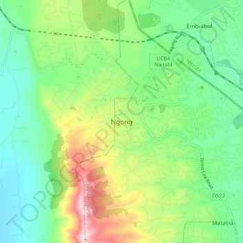
Name: Ngong topographic map, elevation, terrain.
Location: Ngong, Ngong ward, Kajiado North, Kajiado County, Kenya (-1.40660 36.61000 -1.32660 36.69000)
Average elevation: 1,951 m
Minimum elevation: 1,733 m
Maximum elevation: 2,414 m
Make a donation
Gear up for your next adventure:
As an Amazon Associate, this site earns from qualifying purchases at no extra cost to you.