
Scuol topographic map
Click on the map to display elevation.
Scuol
The God da Tamangur ("the forest back there") is the highest continuous stone pine (pinus cembra) forest in Europe, right at the furthest end of the Val S-charl, south of Scuol. The forest nature reserve covers an area of about 84 ha (210 acres) at up to 2,400 m (7,900 ft) in elevation. Due to the altitude and weather, the trees grow very slowly and may live up to 700 years.
About this map
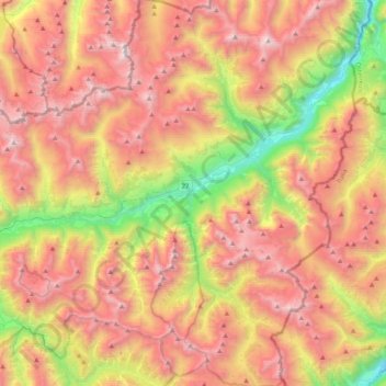
Name: Scuol topographic map, elevation, terrain.
Average elevation: 2,240 m
Minimum elevation: 1,020 m
Maximum elevation: 3,350 m
Other topographic maps
Click on a map to view its topography, its elevation and its terrain.
Ramosch
Switzerland > Grisons > Region Engiadina Bassa/Val Müstair > Valsot
Average elevation: 1,501 m