Geolocate

Deale topographic map

Click on the map to display elevation.

About this map

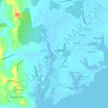
Name: Deale topographic map, elevation, terrain.

Location: Deale, Anne Arundel County, Maryland, United States (38.76868 -76.57648 38.81514 -76.50904)

Average elevation: 5 m

Minimum elevation: -5 m

Maximum elevation: 47 m

Gear up for your next adventure:

🥾Waterproof Hiking Boots - Essential footwear for rugged terrain and wet Canadian trails
🧦Merino Wool Socks - Moisture-wicking comfort for long-distance hiking
🦟Insect Repellent - Keep mosquitoes and black flies away in wooded areas
🧥Waterproof Hiking Jacket - Protect yourself from rain and wind while hiking
🧴Insect Repellent - Protect yourself from bugs during outdoor adventures

As an Amazon Associate, this site earns from qualifying purchases at no extra cost to you.