Geolocate

Sumas topographic map

Click on the map to display elevation.

About this map

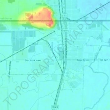
Name: Sumas topographic map, elevation, terrain.

Location: Sumas, Whatcom County, Washington, 98295, United States (48.98555 -122.29069 49.00242 -122.25161)

Average elevation: 15 m

Minimum elevation: 7 m

Maximum elevation: 61 m

Other topographic maps

Click on a map to view its topography, its elevation and its terrain.

Gear up for your next adventure:

❄️Traction Ice Cleats - Slip-on spikes for icy trails and winter hiking
🧤Insulated Winter Gloves - Heavy-duty protection for sub-zero Canadian adventures
🧥Thermal Layer - Insulating layer for cold outdoor conditions
🥾Trail Hiking Boots - Supportive boots for rough trails
🥾Hiking Shorts - Breathable shorts suitable for summer hikes

As an Amazon Associate, this site earns from qualifying purchases at no extra cost to you.