
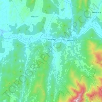
Cambridge topographic map
Interactive map
Click on the map to display elevation.
About this map
Name: Cambridge topographic map, elevation, terrain.
Location: Cambridge, Lamoille County, Vermont, United States (44.54105 -72.92728 44.71112 -72.72649)
Average elevation: 315 m
Minimum elevation: 105 m
Maximum elevation: 1,330 m