Geolocate

Mullanpur topographic map

Click on the map to display elevation.

About this map

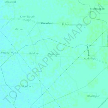
Name: Mullanpur topographic map, elevation, terrain.

Location: Mullanpur, Bassi Pathana Tahsil, Fategarh Sahib, Punjab, India (30.69916 76.34603 30.73916 76.38603)

Average elevation: 272 m

Minimum elevation: 269 m

Maximum elevation: 275 m

Gear up for your next adventure:

💡LED Headlamp - Hands-free illumination for night hiking and camping
💧Reusable Water Bottle - Durable water bottles for hydration on trails
🧥Softshell Jacket - Windproof and breathable jacket for hiking
🏕️Camping Hammock - Integrated protection for sleeping between trees
🥾Trekking Poles - Adjustable trekking poles to reduce knee stress and improve stability

As an Amazon Associate, this site earns from qualifying purchases at no extra cost to you.