
Saint Helena Parish topographic map
Interactive map
Click on the map to display elevation.
About this map
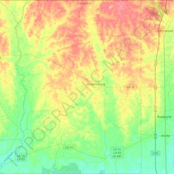
Name: Saint Helena Parish topographic map, elevation, terrain.
Location: Saint Helena Parish, Louisiana, United States (30.64933 -90.91190 30.99970 -90.56579)
Average elevation: 59 m
Minimum elevation: 19 m
Maximum elevation: 119 m
Other topographic maps
Click on a map to view its topography, its elevation and its terrain.
Pine Grove
United States > Louisiana > Saint Helena Parish > Pine Grove
Pine Grove, Saint Helena Parish, Louisiana, United States
Average elevation: 47 m