
Shasta Lake topographic map
Interactive map
Click on the map to display elevation.
About this map
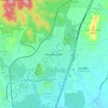
Name: Shasta Lake topographic map, elevation, terrain.
Location: Shasta Lake, Shasta County, California, United States (40.65048 -122.41133 40.70976 -122.33699)
Average elevation: 265 m
Minimum elevation: 192 m
Maximum elevation: 554 m