
Medford topographic map
Interactive map
Click on the map to display elevation.
About this map
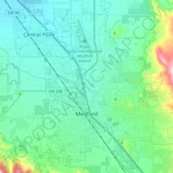
Name: Medford topographic map, elevation, terrain.
Location: Medford, Jackson County, Oregon, United States (42.28876 -122.91123 42.39839 -122.77720)
Average elevation: 441 m
Minimum elevation: 368 m
Maximum elevation: 795 m
Other topographic maps
Click on a map to view its topography, its elevation and its terrain.
Ashland
United States > Oregon > Jackson County
Ashland, Jackson County, Oregon, United States
Average elevation: 774 m