
Groom Creek topographic map
Interactive map
Click on the map to display elevation.
About this map
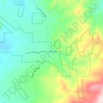
Name: Groom Creek topographic map, elevation, terrain.
Location: Groom Creek, Yavapai County, Arizona, 86312, United States (34.45558 -112.45128 34.49558 -112.41128)
Average elevation: 1,975 m
Minimum elevation: 1,815 m
Maximum elevation: 2,289 m