
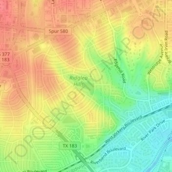
Luther Lake topographic map
Interactive map
Click on the map to display elevation.
About this map
Name: Luther Lake topographic map, elevation, terrain.
Average elevation: 212 m
Minimum elevation: 178 m
Maximum elevation: 237 m
Other topographic maps
Click on a map to view its topography, its elevation and its terrain.
Fort Worth
United States > Texas > Tarrant County > Fort Worth
Fort Worth, Tarrant County, Texas, 76102, United States
Average elevation: 202 m