
Pandora Island topographic map
Interactive map
Click on the map to display elevation.
About this map
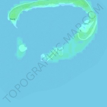
Name: Pandora Island topographic map, elevation, terrain.
Location: Pandora Island, Pitcairn Islands (-24.68849 -124.78762 -24.68532 -124.78335)
Average elevation: 1 m
Minimum elevation: 0 m
Maximum elevation: 6 m
Other topographic maps
Click on a map to view its topography, its elevation and its terrain.