
Bukit Timah Hill topographic map
Interactive map
Click on the map to display elevation.
About this map
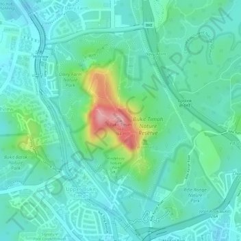
Name: Bukit Timah Hill topographic map, elevation, terrain.
Location: Bukit Timah Hill, Northwest, 589333, Singapore (1.35464 103.77632 1.35474 103.77642)
Average elevation: 52 m
Minimum elevation: 14 m
Maximum elevation: 168 m
Other topographic maps
Click on a map to view its topography, its elevation and its terrain.
Bukit Timah Nature Reserve
Bukit Timah Nature Reserve, Rifle Range Road, Bukit Panjang, Northwest, 588406, Singapore
Average elevation: 52 m
Sungei Sembawang
Sungei Sembawang, Sembawang, Northwest, 757087, Singapore
Average elevation: 19 m