
The Colony topographic map
Interactive map
Click on the map to display elevation.
About this map
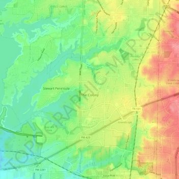
Name: The Colony topographic map, elevation, terrain.
Location: The Colony, Denton County, Texas, 75056, United States (33.04677 -96.96017 33.13714 -96.84276)
Average elevation: 175 m
Minimum elevation: 140 m
Maximum elevation: 225 m