
Ulaankhus topographic map
Interactive map
Click on the map to display elevation.
About this map
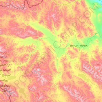
Name: Ulaankhus topographic map, elevation, terrain.
Location: Ulaankhus, Bayan-Ölgii, Mongolia (48.22560 87.81252 49.55896 89.79590)
Average elevation: 2,428 m
Minimum elevation: 1,438 m
Maximum elevation: 3,938 m
Other topographic maps
Click on a map to view its topography, its elevation and its terrain.