
Cauthron topographic map
Interactive map
Click on the map to display elevation.
About this map
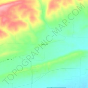
Name: Cauthron topographic map, elevation, terrain.
Location: Cauthron, Logan County, Arkansas, USA (35.14954 -93.89020 35.18954 -93.85020)
Average elevation: 180 m
Minimum elevation: 132 m
Maximum elevation: 265 m