
La Junta topographic map
Interactive map
Click on the map to display elevation.
About this map
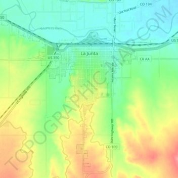
Name: La Junta topographic map, elevation, terrain.
Location: La Junta, Otero County, Colorado, United States (37.94123 -103.59629 38.00113 -103.50960)
Average elevation: 1,264 m
Minimum elevation: 1,230 m
Maximum elevation: 1,319 m