
Rauchwart topographic map
Interactive map
Click on the map to display elevation.
About this map
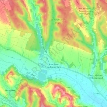
Name: Rauchwart topographic map, elevation, terrain.
Location: Rauchwart, Güssing, Burgenland, 7535, Austria (47.10860 16.19846 47.17587 16.25553)
Average elevation: 272 m
Minimum elevation: 222 m
Maximum elevation: 346 m