
Greymouth topographic map
Interactive map
Click on the map to display elevation.
About this map
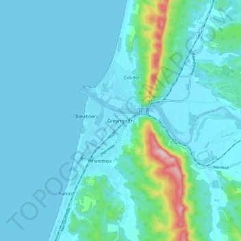
Name: Greymouth topographic map, elevation, terrain.
Location: Greymouth, Grey District, West Coast, 7801, New Zealand (-42.48995 171.16799 -42.40995 171.24799)
Average elevation: 40 m
Minimum elevation: -3 m
Maximum elevation: 337 m