
Grangeville topographic map
Interactive map
Click on the map to display elevation.
About this map
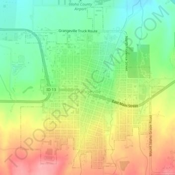
Name: Grangeville topographic map, elevation, terrain.
Location: Grangeville, Idaho County, Idaho, United States (45.91468 -116.13723 45.93956 -116.10542)
Average elevation: 1,037 m
Minimum elevation: 986 m
Maximum elevation: 1,097 m