
Coleman topographic map
Interactive map
Click on the map to display elevation.
About this map
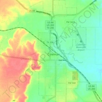
Name: Coleman topographic map, elevation, terrain.
Location: Coleman, Coleman County, Texas, 76834, USA (31.79997 -99.44969 31.86626 -99.39968)
Average elevation: 528 m
Minimum elevation: 502 m
Maximum elevation: 564 m