
Kőröshegy topographic map
Interactive map
Click on the map to display elevation.
About this map
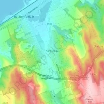
Name: Kőröshegy topographic map, elevation, terrain.
Location: Kőröshegy, Siófoki járás, Somogy, Transdanubia, 8617, Hungary (46.80337 17.87221 46.85762 17.95060)
Average elevation: 179 m
Minimum elevation: 101 m
Maximum elevation: 313 m