
Oswego topographic map
Interactive map
Click on the map to display elevation.
About this map
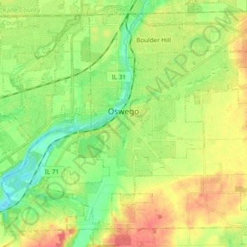
Name: Oswego topographic map, elevation, terrain.
Location: Oswego, Kendall County, Illinois, USA (41.63725 -88.39510 41.71932 -88.26028)
Average elevation: 203 m
Minimum elevation: 178 m
Maximum elevation: 236 m