
Tha Muang topographic map
Interactive map
Click on the map to display elevation.
About this map
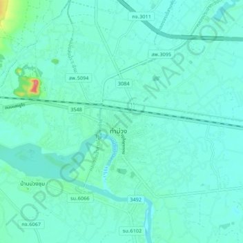
Name: Tha Muang topographic map, elevation, terrain.
Location: Tha Muang, Kanchanaburi Province, 71110, Thailand (13.93585 99.59732 14.01585 99.67732)
Average elevation: 24 m
Minimum elevation: 12 m
Maximum elevation: 93 m