
Sadr City topographic map
Interactive map
Click on the map to display elevation.
About this map
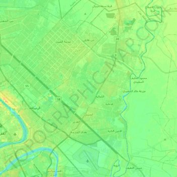
Name: Sadr City topographic map, elevation, terrain.
Location: Sadr City, Baghdad, Iraq (33.26221 44.40986 33.43905 44.57029)
Average elevation: 37 m
Minimum elevation: 26 m
Maximum elevation: 54 m
Other topographic maps
Click on a map to view its topography, its elevation and its terrain.