
Doddaballapura topographic map
Interactive map
Click on the map to display elevation.
About this map
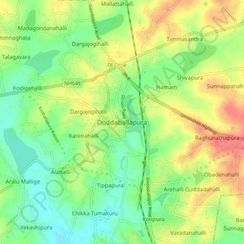
Name: Doddaballapura topographic map, elevation, terrain.
Average elevation: 899 m
Minimum elevation: 872 m
Maximum elevation: 934 m
Other topographic maps
Click on a map to view its topography, its elevation and its terrain.
Kolipura
India > Karnataka > Doddaballapura taluk
Kolipura, Doddaballapura taluk, Bengaluru Rural District, Karnataka, 561205, India
Average elevation: 896 m