
Rock Lake topographic map
Interactive map
Click on the map to display elevation.
About this map
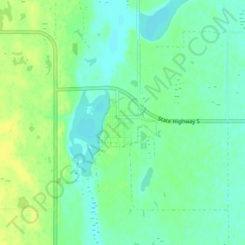
Name: Rock Lake topographic map, elevation, terrain.
Location: Rock Lake, Towner County, North Dakota, USA (48.77028 -99.26625 48.81028 -99.22625)
Average elevation: 472 m
Minimum elevation: 464 m
Maximum elevation: 482 m