
Vernal topographic map
Interactive map
Click on the map to display elevation.
About this map
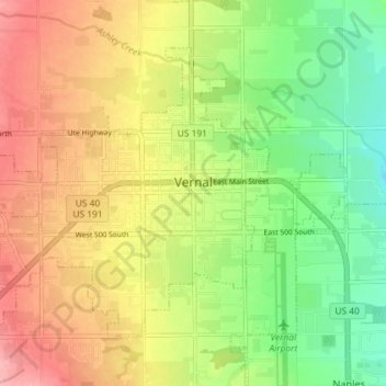
Name: Vernal topographic map, elevation, terrain.
Location: Vernal, Uintah County, Utah, United States (40.43350 -109.57207 40.47486 -109.49978)
Average elevation: 1,625 m
Minimum elevation: 1,569 m
Maximum elevation: 1,685 m