
Tsengel topographic map
Interactive map
Click on the map to display elevation.
About this map
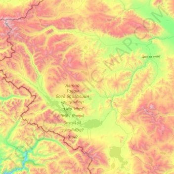
Name: Tsengel topographic map, elevation, terrain.
Location: Tsengel, Bayan-Ölgii, Mongolia (48.36460 87.73416 49.16621 89.32668)
Average elevation: 2,567 m
Minimum elevation: 1,461 m
Maximum elevation: 4,313 m
Other topographic maps
Click on a map to view its topography, its elevation and its terrain.