
Bell Island topographic map
Interactive map
Click on the map to display elevation.
About this map
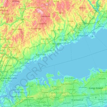
Name: Bell Island topographic map, elevation, terrain.
Average elevation: 63 m
Minimum elevation: -5 m
Maximum elevation: 309 m
Other topographic maps
Click on a map to view its topography, its elevation and its terrain.
Old Baldy
United States of America > Connecticut > Norwalk
Old Baldy, Norwalk, Fairfield County, Connecticut, 06853, United States of America
Average elevation: 59 m