
MURILLO topographic map
Interactive map
Click on the map to display elevation.
About this map
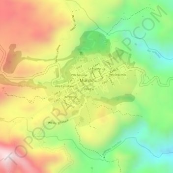
Name: MURILLO topographic map, elevation, terrain.
Location: MURILLO, Murillo, Tolima, Colombia (4.86870 -75.17552 4.87852 -75.16457)
Average elevation: 2,965 m
Minimum elevation: 2,689 m
Maximum elevation: 3,236 m