
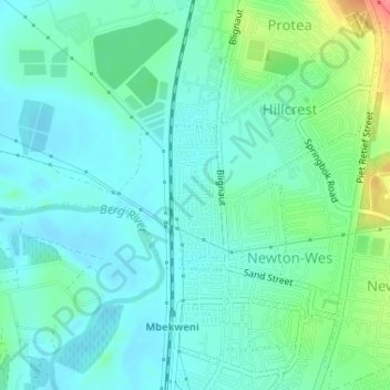
Drakenstein Ward 5 topographic map
Interactive map
Click on the map to display elevation.
About this map
Name: Drakenstein Ward 5 topographic map, elevation, terrain.
Average elevation: 108 m
Minimum elevation: 91 m
Maximum elevation: 161 m
Other topographic maps
Click on a map to view its topography, its elevation and its terrain.
Drakenstein Local Municipality
RSA > Western Cape > Drakenstein Local Municipality
Drakenstein Local Municipality, Cape Winelands District Municipality, Western Cape, RSA
Average elevation: 397 m